Item 1 of 2
Web projects
Browse the web projects I developed either professionally or for personal use


Item 1 of 2


Item 1 of 3

Item 1 of 1


Item 1 of 2

Item 1 of 1

Item 1 of 1

Item 1 of 1

Item 1 of 1

Item 1 of 1


Item 1 of 5

Item 1 of 1

Item 1 of 1

Item 1 of 1

Item 1 of 1


Item 1 of 3


Item 1 of 2


Item 1 of 5


Item 1 of 1
Item 1 of 4
Item 1 of 4
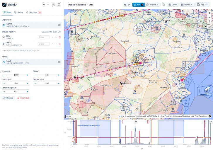
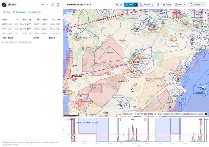
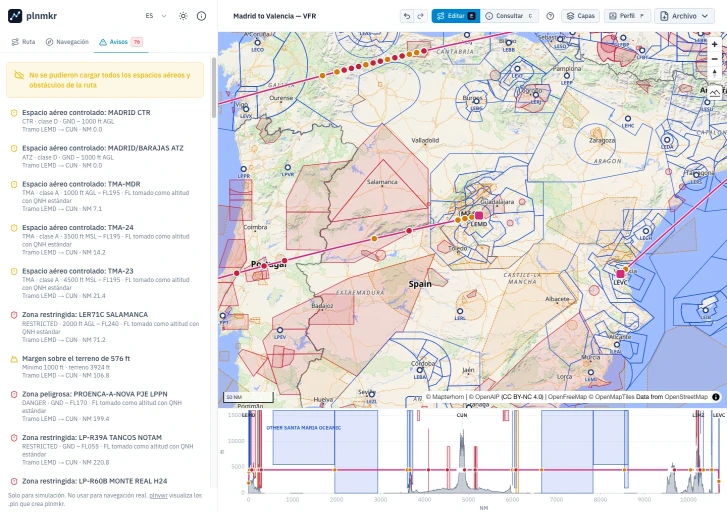
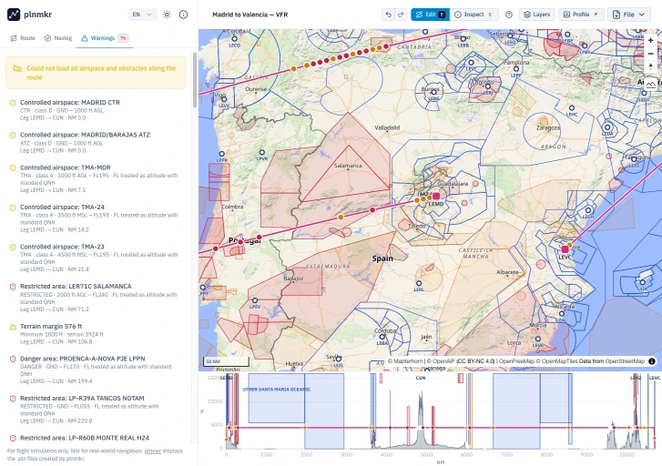
PLNMKR
Plan VFR routes with interactive maps and terrain profiles
Create simulated VFR flight plans by plotting aerodromes and waypoints on an interactive map. Review route legs, headings, estimated times, terrain clearance, airspace and obstacle warnings, and vertical profiles. For simulation only; not for real-world navigation.
Vue
Typescript
Maplibre.gl

Item 1 of 1


Item 1 of 3
Satya Insights Dashboard
Comprehensive consumer-related analytics dashboard
Big data dashboard to analyze multiple consumer-related KPIs, as well as area inflows, outflows and heatmaps
Node
Express
Pug
PostgreSQL
Vue
Leaflet
Pinia


Item 1 of 2

Item 1 of 1

Item 1 of 1

Item 1 of 1

Item 1 of 1


Item 1 of 2

Item 1 of 1


Item 1 of 1

Item 1 of 1

Item 1 of 1


Item 1 of 1


Item 1 of 1
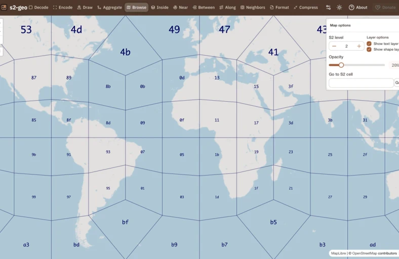
H3 Index.es
A comprehensive toolkit for exploring, encoding, and visualizing H3 geospatial indices
Suite of tools to help you understand and interact with the H3 spatial indexing system. Convert coordinates to H3 cells, decode cells to geographic representations, visualize data on interactive maps, aggregate spatial datasets, and explore relationships between H3 cells such as neighbors, proximity, and hierarchy.
Pug
Vue
Leaflet
PWA
HTML5 APIs
Typescript
Pinia
Nuxt
Maplibre.gl

Item 1 of 1
Item 1 of 5